Interpretive signage at public lands
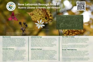
CLC is excited to share digital versions of the newly-installed interpretive signage at several public lands! We hope these signs provide ways to better connect with the land. Content was developed through referencing documents like Natural Resource Inventories for the sites, materials prepared by our friends at the Hawthorne Valley Farmscape Ecology Program, and Columbia Land Conservancy’s Conservation Lands: A journey into the Pre-Colonial Era by Justin Wexler of Wild Hudson Valley. If you have questions about this project or would like to support it, please be in touch with Rebecca Walker, Director of Strategic Fundraising & Communications.
Greenport
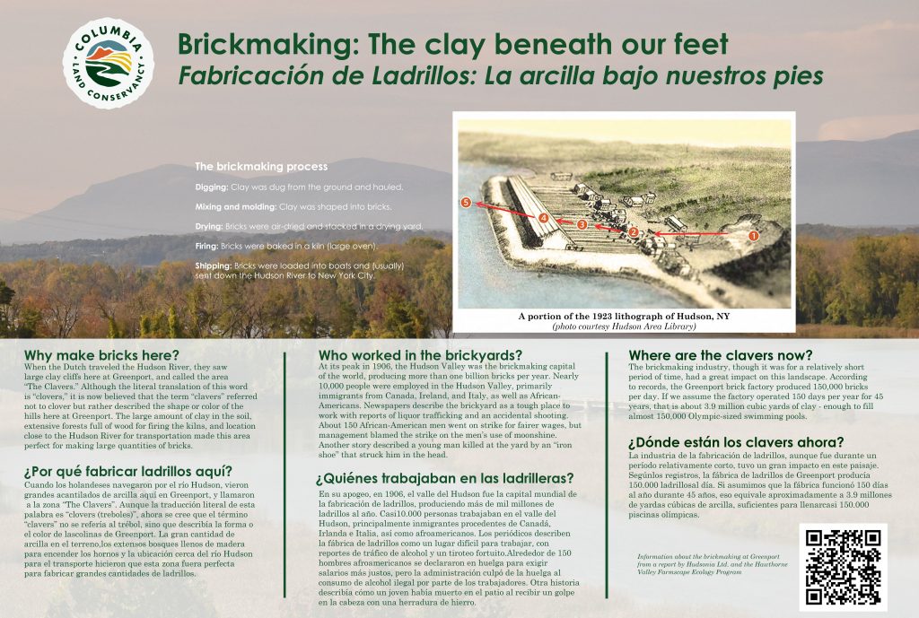
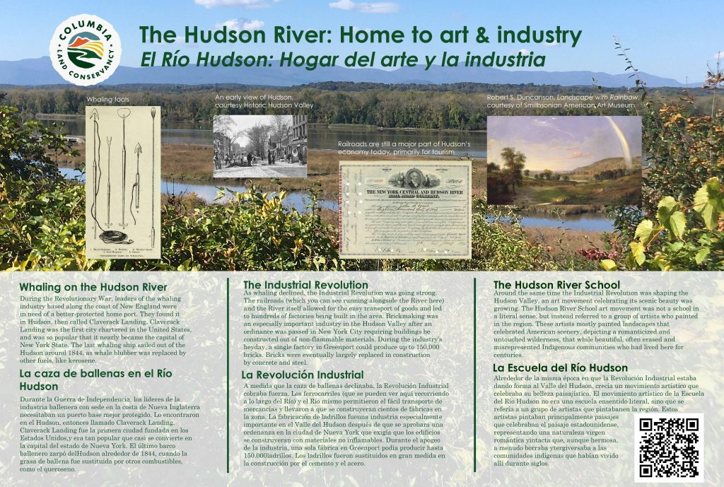
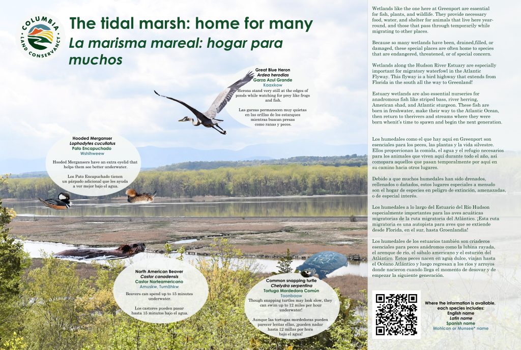
Greenport features stunning Hudson River and Catskill views, forests, and open meadows with grassland birds. A trail connects the site to Harrier Hill Park, owned by Scenic Hudson. The remains of a once-active brickyard can be seen along the Brickyard Trail.
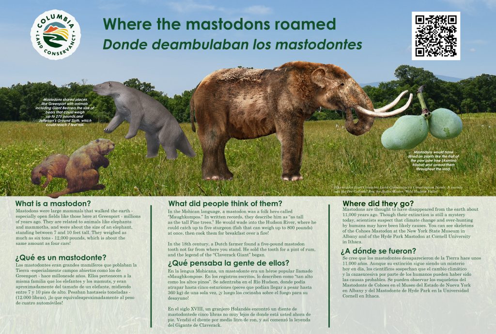
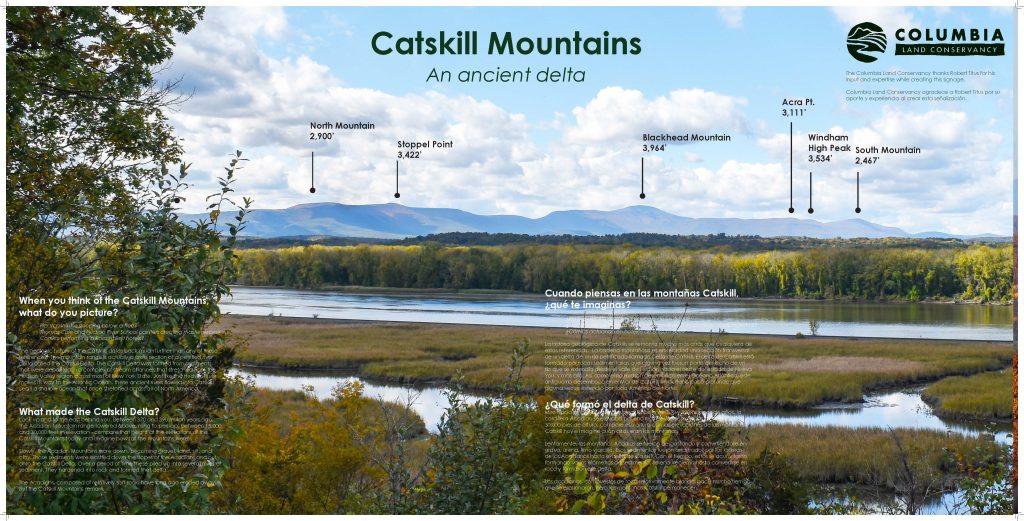
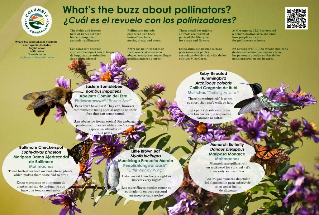
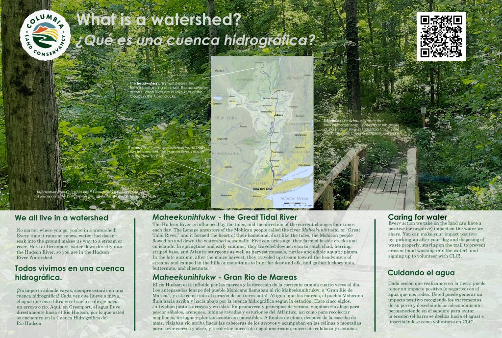
Interpretive signs at this site feature brickmaking, history, marshes, mastodon, mountains, pollinators, and watersheds.
Hand Hollow
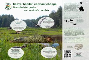
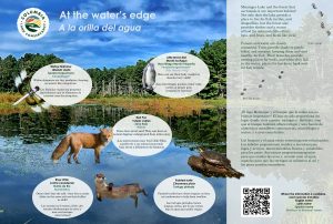
Hand Hollow’s 447 acres include large forests, fishing opportunities at Meizinger Lake, and great birding opportunities. There are active beaver and great blue heron populations at this site, as well as a number of spring wildflowers.
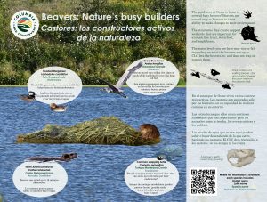
Interpretive signs at this site feature beavers, forest birds, history, and ponds.
Ooms
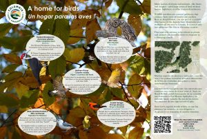
Ooms includes 3 miles of trails, all of which offer visitors year-round opportunities to enjoy the rolling grasslands around Sutherland Pond, home to birds like bobolinks and the site’s mascot, the meadowlark.
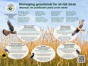
Interpretive signs at this site feature agriculture, beavers, grassland bird management, and pollinators.


Overmountain
Overmountain has something for everyone. Want to take a short (half-mile) stroll to one of the best views in Columbia County? Take the Kestrel Trail to the Kite Hill gazebo, or the Gentian Hill overlook. Prefer to spend the whole day solo on a longer hike? Park at the Round Ball Trailhead and hike north to the Charcoal Loop.
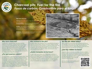
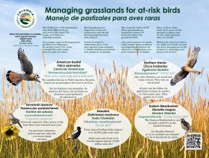
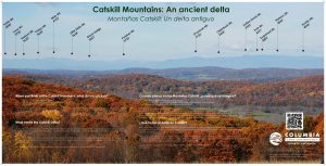
Interpretive signs at this site feature charcoal pits, grassland bird management, pollinators, and the Catskill Mountains.

Schor
Schor is a 233-acre site that allows you to choose your own adventure! Looking for a quiet walk in the woods? Take the Red Fox Loop and watch for wildlife. Want to get your heart racing? Take the Summit Trail and marvel at the view – on clear days, you can see all the way to Albany! If you’re looking for a more relaxing experience, hang out at the pond – there’s a picnic pavilion and plenty of seating.
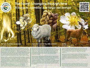
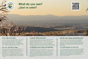
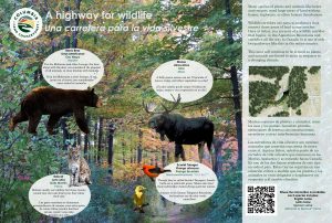
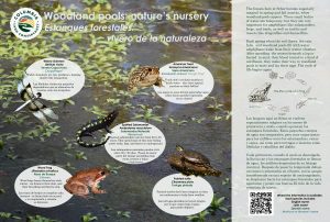
Interpretive signs at this site feature forestry, views, the wildlife corridor, and woodland pools.
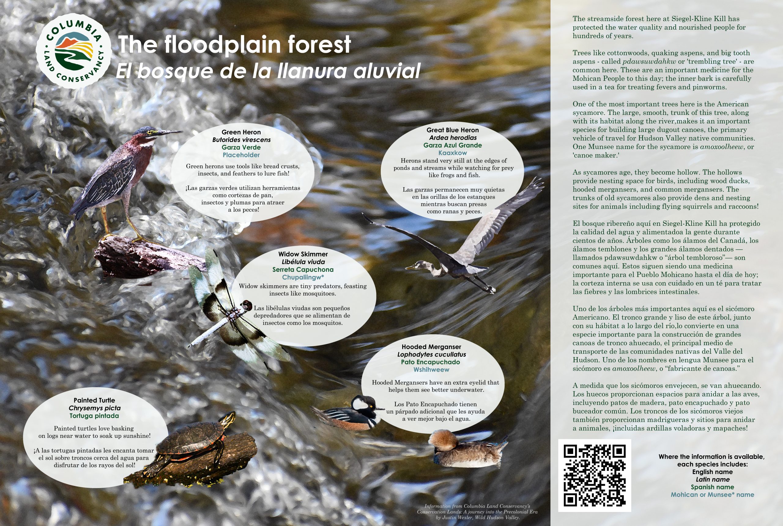
Siegel-Kline Kill
Siegel-Kline Kill’s 55 acres include a meadow, a sledding hill, and a floodplain forest. Take the Stream Spur trails to get up close to the Kline Kill and enjoy the large sycamore trees, or watch for bluebirds enjoying the nest boxes along the Bluebird Trail.
Interpretive signage at this site features the floodplain forest.